
Towns, stations & useful stops
Douro Valley map
for trip planning.
Understand the Douro from Régua to Pinhão and the Douro Superior, then choose wineries, restaurants and transport that fit one practical route.
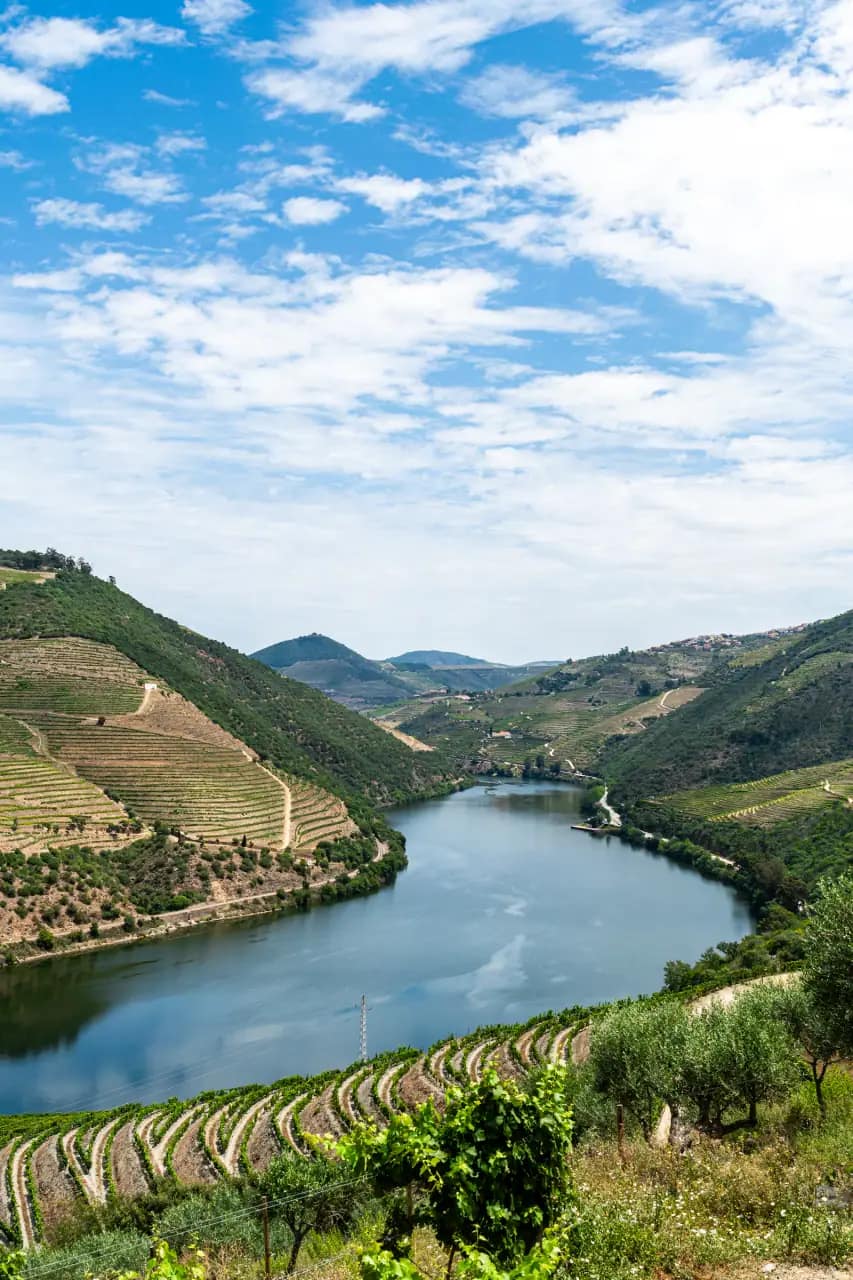
Read the valley west to east
Three regions, three different trips.
This is an orientation map for planning, not a turn-by-turn navigation map. Start with the town or rail stop that matches your transport, then add nearby wine, food and river experiences.
Baixo Corgo
Peso da Régua
Best-connected service base
Museum context, rail access and onward transfers
Cima Corgo
Pinhão
Scenic rail stop and compact riverfront
Walkable tastings, short cruises and a first overnight stay
Douro Superior
Pocinho and Vila Nova de Foz Côa
Longer rail or road journey
A quieter landscape and trips planned beyond the central valley
Decision directory
Choose stops by logistics.
“Possible” without a car still means checking walking conditions, opening times and any required reservation.
| Place | Type | Without a car | Why use it | Plan |
|---|---|---|---|---|
| Peso da Régua | Town + station | Strong | Regional services and Museu do Douro | Open guide → |
| Pinhão | Town + station | Strong | Riverfront, cruises and nearby wine visits | Open guide → |
| Quinta do Bomfim | Winery | Possible | A central Pinhão wine visit; reserve ahead | Official source ↗ |
| Quinta de la Rosa | Winery + restaurant | Possible | Wine and dining close to Pinhão; check the route | Official source ↗ |
| Folgosa | Riverside stop | Limited | Useful road stop between Régua and Pinhão | Official source ↗ |
| Provesende | Wine village | Limited | A quieter village above Pinhão | Open guide → |
| Lamego | Historic town | Transfer needed | History and churches beyond the vineyards | Official source ↗ |
| Pocinho | Rail stop | Rail only | A scenic endpoint, not a compact first-day base | Official source ↗ |
Useful journey times
Keep nearby stops in the same day.
From Porto, allow about 1 hour 15 minutes by car to Régua and 1 hour 40 minutes to Pinhão in normal traffic. The train usually takes about 1 hour 55 minutes to Régua and 2 hours 20 minutes to Pinhão. Roads between valley stops are slower than the distance suggests, so check the live route before leaving.
Related guides